Earth map online provides World map, HD satellite maps, Street Map, Terrain Map. Access premium aerial intelligence through our high-definition satellite mapping platform for . This cutting-edge geographic information system delivers current imagery, land use analysis, and environmental monitoring capabilities. Ideal for urban planning, agricultural assessment, and geographic research applications.
HD Satellite Map
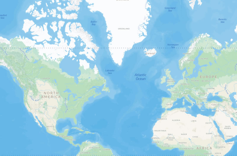
Earth map online provides high-definition satellite imagery with crystal-clear resolution, offering detailed views of global terrain, urban landscapes, and natural features. Our HD satellite maps cover extensive geographical areas with precise topographical data, supporting diverse communities and research applications worldwide.
Advanced Mapping Capabilities & Features
Our sophisticated satellite mapping solution incorporates cutting-edge geographic information systems including:
- Enhanced geographic data precision and accuracy for detailed terrain analysis
- Professional-grade coordinate systems with GPS integration for accurate positioning
- Precision measurement tools with area calculation capabilities for distance and area analysis
World Street Map
Earth map online provides comprehensive world street maps with detailed road networks, urban planning data, and cultural landscape information. Our street maps encompass diverse geographical features and support vibrant communities worldwide with accurate navigation data.
Global Coverage & Applications
Our world street maps provide comprehensive coverage for navigation, route planning, and geographic exploration. These detailed maps support urban development, tourism planning, and transportation logistics across diverse geographical regions and cultural landscapes.
Recently Updated
- 2617-2869 Main St, Wiley, CO 81092 street map | 2617-2869 Main St, Wiley, CO 81092 satellite map | 2617-2869 Main St, Wiley, CO 81092 terrain map
- Little Elk Creek Rd, Snowmass, CO 81654 street map | Little Elk Creek Rd, Snowmass, CO 81654 satellite map | Little Elk Creek Rd, Snowmass, CO 81654 terrain map